Remote Sensing Technology: 5 Things to Understand
Although remote sensing has been around in some form for many decades, this technology has emerged as one of the most transformative trends in modern industry and, recently, our society. Remote sensors have served a variety of purposes. However, the time is fast approaching when sensors will take on a vast new array of functionality, providing real-time information that fundamentally changes the ways we operate, live, and work.
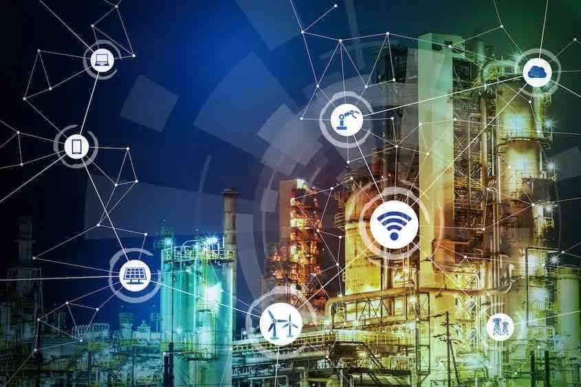
The Internet of Things (IoT), generally understood as an increasingly interconnected network of sensors, has arrived in the form of mobile fitness trackers, smart thermostats, and remote-access home security systems. Auto companies have been developing and testing autonomous vehicles for many years. Smart cities with sensors streamlining public functions are on the horizon. The prospect of IoT involves not just people relying on and interacting with sensors, but machines communicating with each other to create a more automated world.
The latest in remote sensing technology is evolving rapidly, and its various applications present members of the joint use community like electric utilities, telecommunications, CATV, and broadband providers—along with the engineering and construction firms that partner with them—with a range of choices. Businesses must weigh both current and expected needs, as well as the costs and benefits when choosing their remote sensing technology.
A few things to think about when considering remote sensing tech:
1) Save Time: Efficiency is the Driver
Operational efficiencies are desirable for any company. In today’s environment, they have become essential. Save any time you can wherever you can.
In a detailed look at remote sensing technology and the electric power industry, Deloitte noted that for years the industry could count on steady growth in demand to pay for system maintenance while keeping rates affordable; however, that rate of growth is now declining. According to Deloitte’s analysis, demand growth was about 7 percent annually from 1949 to 1973. The rate declined to about 2.5 percent from 1974 to 2013, and from now until 2040, it’s projected to be less than 1 percent.
This makes increasing efficiencies, where possible, a top priority to avoid rate increases. Fortunately, the latest in remote sensing technology allows companies to gather better and more comprehensive information about their asset base. Computer modeling provides for virtual testing of infrastructure before expensive changes are made. Real-time monitoring of assets will permit personnel to predict equipment failure, enabling them to schedule anticipated replacements before a particular piece of equipment fails, avoiding the higher costs of emergency response and service interruptions.
2) It’s All In the Data
Certain data-capturing technologies deserve careful consideration:
- Infrared sensors are useful in measuring the temperature of a piece of equipment, such as a transformer on a utility pole. This can be important in determining when a transformer may need to be replaced before failure.
- Photogrammetry is a useful, convenient way to gather comprehensive data. A handheld imager can take photographs that are transmitted from the field to the back office and used for multiple purposes. For example, photographs of a utility pole could be used to measure height, attachment placement, and the distances from curbs, buildings, and surrounding vegetation.
- LiDAR (Light Detection and Ranging) uses millions of rapid-fire pulses of laser light to measure distance. The resulting data points can be used to construct a point-cloud image of the assets measured, such as a substation, a pole, or an extended stretch of transmission and distribution lines. LiDAR is ideal for projects in which gathering a large amount of data is required. It’s traditionally been considered a more expensive option, but is steadily becoming much more affordable.
3) Means to Gather Data
Along with the various technologies to capture data, the scope, demands, and purposes of a project determine which data collection method makes the most sense.
- Boots on the ground. A traditional way to gather data on any asset is to send techs into the field. This method still works effectively. If the focus is a single asset, or a small number of assets, in-person data collection still may be the best method available.
- Drones. The price of unmanned aircraft continues to drop, and a drone can capture perspectives that are unavailable from the ground. Along with cameras, drones can carry LiDAR equipment and thermal sensors to record data along a series of utility poles or other assets, and in areas involving difficult terrain. Besides the cost, one consideration is that drones are subject to regulations that do not affect other methods of data collection.
- Vehicle-mounted sensing tech. For large-volume projects, driving along a power line to record data may be the most practical approach. Some terrain may present challenges.
4) One Size Does Not Fit All
When it comes to remote sensing technology, there is no single solution or approach that is right for every project.
Alden CEO John Sciarabba offers the following insight: “From a technology standpoint, we always talk about, ‘Here’s the latest and greatest. Here’s the next big thing.’ The point that we tend to overlook, especially as technology-oriented people, is that it’s not one size fits all — that the different technologies are all going to have their lifetime. It doesn’t mean that some of them cannot coexist because they have different fits to meet different challenges.”
Some are pocket-sized solutions, and others require a large commitment. Any solution should suit the size, mission, and the desired outcome of the task at hand. LiDAR, for example, produces a huge amount of data, and it can be used for a multitude of purposes. But the data must be properly processed and managed. If you are looking to collect which companies own each piece of equipment on a string of poles, maybe field techs are the way to go. After all, capturing a lot of data is useless if you can’t use it to take action.
5) The Evolution Continues
Remote sensing has come a long way in recent years, and more changes are ahead. We all have some big decisions to make. To be sound, those decisions must be driven by data. Part of “getting it right” involves finding the right collaborators and an effective system for capturing data, managing it, analyzing it, and putting it to use.
Alden Systems, for example, has partnered with Leica Geosystems, whose handheld imager, the BLK3D, works exceptionally well with our Task Agent software. We’re also exploring relationships with service companies that have expertise performing data collection.
Once the information is in hand, Alden’s business automation and communication platform, Alden One, easily tracks and manages your data and helps put it to good use. Alden One® lightens the load on staffing resources, freeing them to use their expertise where it’s needed most. The software saves time by enabling efficiencies that are important to moving forward in this ever-changing new world.
How can we help streamline your operations? Click here to book a meeting with a product specialist.