Shared Utility Infrastructure: Understanding Joint Use in Power, Safety, & Communications Spaces
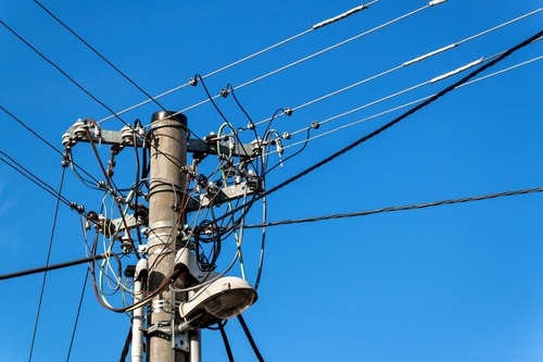
Utility poles are the foundation for joint use operations between pole owners and service providers that attach equipment to those field assets. As electric power, telecommunications, broadband, and CATV companies increasingly work with pole owners to provide services to ...