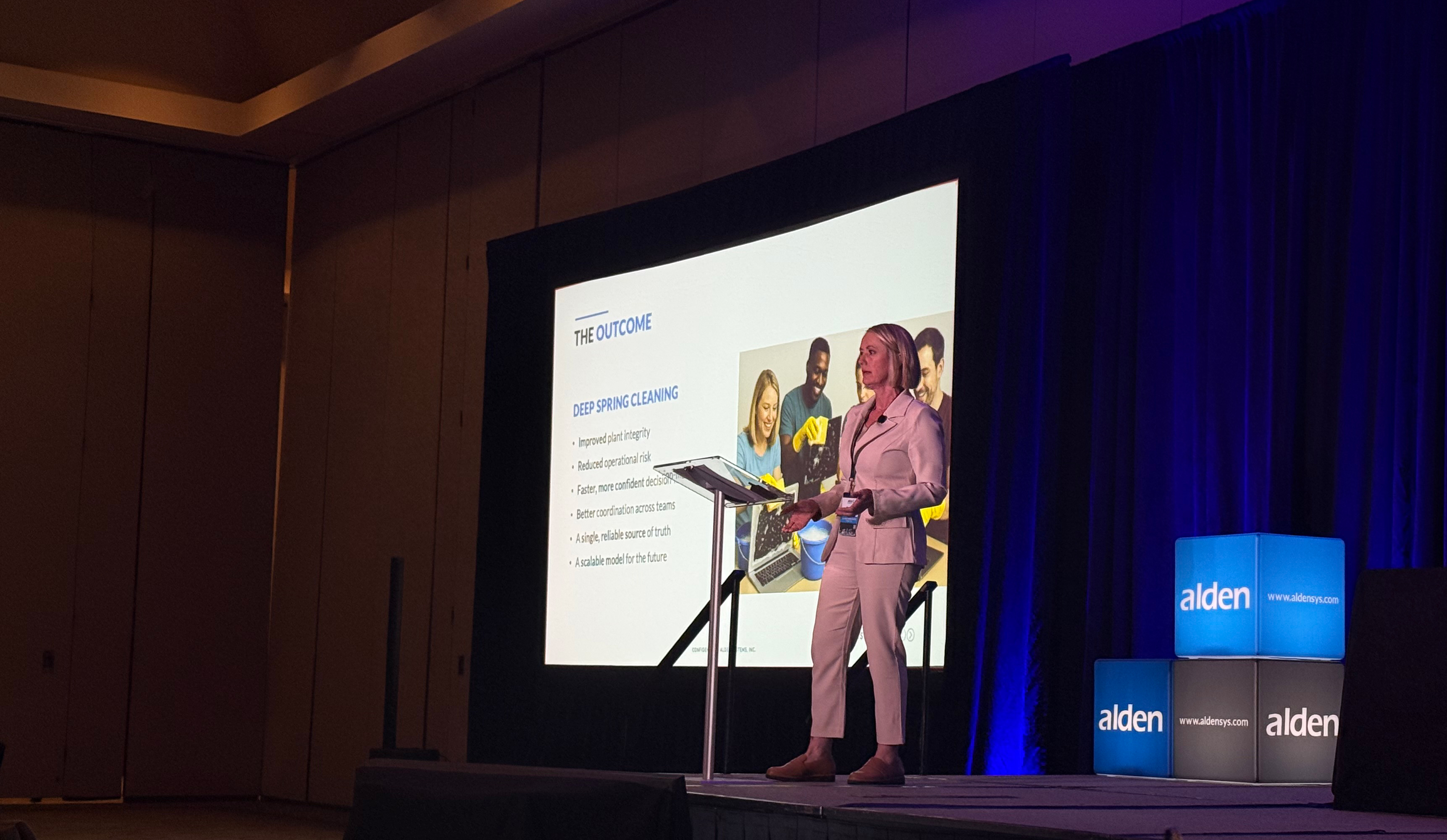
How is LIDAR Data Impacting Utility Data Collection?
For years, utility companies have counted on a combination of experienced personnel, hot stick measurements, and digital cameras to collect data on their poles and other assets. But accelerated demands for jointly used real estate, as well as lowering costs for elevated technology, are shining a light on a promising method of utility data collection: light detection and ranging, also known as LIDAR.
What is LIDAR?
LIDAR is not new technology, although it has superbly evolved. The U.S. military has used it for around fifty-five years for target acquisition. Law enforcement agencies have also used LIDAR to pinpoint violations of traffic laws. Large engineering firms have used it for surveying. While LIDAR has many potential applications, the cost kept its use limited to a few fields–until now.
What exactly is this versatile technology? LIDAR is an acronym for light detection and ranging. In simplistic terms, LIDAR is fundamentally a distance technology. LIDAR measures distance to a target by illuminating the target with laser light and measuring the reflected light with a sensor.
In the utility industry, a handheld LIDAR known as a “hypsometer” has been used to measure height or elevation. According to Wikipedia:
“A hypsometer allows the height of a building or tree to be measured by sighting across a rule, to both the base and the top of the object being measured, when the distance from the object to the observer is known. Modern hypsometers use a combination of laser rangefinder and clinometer to measure distances to the top and bottom of objects, and the angle between the lines from the observer to each to calculate height.”
Advanced, small form factor LIDAR units are often mounted on airplanes, drone aircraft, trucks, or handheld devices. They emit laser light beams, invisible to the human eye, a million times per second. These pulses capture precise measurements that can be used to generate a three-dimensional image or point cloud--a picture composed of dots, with every dot a piece of data. LIDAR data is detailed, accurate, and easy to gather quickly.
Uses of LIDAR
While LIDAR is still far from cheap, the cost is coming down and practical applications are multiplying. As with any technology entering the marketplace, the price is high at first but gradually drops as it becomes more widely available. Further, LIDAR has improved over the years, becoming more powerful and therefore, more useful.
Geospatial World has identified some wide-ranging uses for LIDAR in the 21st century:
- Self-driving automobiles – LIDAR sensors determine the car’s distance from other automobiles and objects. The development of autonomous automobiles is driving the expansion and increasing the affordability of LIDAR.
- Agriculture – LIDAR creates a detailed picture of a landscape, identifying areas with the greatest sun exposure and those that will require more water and fertilizer to yield crops.
- Pollution models – Because LIDAR detects particles of pollutants such as carbon dioxide, sulfur dioxide, and methane, it can create maps that show pollution density. Pollution particles are visible in layers over a city or community.
- Archaeology – Potential dig sites are not always visible at ground level, but many can be identified from above by LIDAR.
- Water surveys – LIDAR penetrates water and can aid in creating a detailed picture of rivers and creek bottoms—both useful in understanding flood potential.
Municipalities are beginning to see the possibilities of LIDAR beyond law enforcement. One southwestern city has hired a LIDAR company to measure its city’s curbs and access topography grades at intersections. LIDAR has identified thousands of violations. Also, the technology can be used for quick, accurate measurements of street signs, gutters, manholes, and several other aspects of a modern cityscape.
LIDAR, Utilities, and Changing Times
Utilities can certainly find uses for technology as detailed and accurate as LIDAR. Vegetation management, structural pole analysis, and surveys of terrain for power lines are possible applications. But do they need LIDAR?
Old forms of utility data collection have served companies well. They’ve been modified, improved, and augmented with technology such as digital cameras, but the basic methods have worked for decades.
What’s new is the rapidly mushrooming demand for space on utility poles from attachers in the telecommunications industry. 5G, the latest generation of broadband and cell phone service, relies heavily on hundreds of thousands of small cell attachments to deliver on its promise of faster speeds and a more extensive array of uses.
In our experience, some utilities are finding their old methods of data collection cannot keep pace with demands for up-to-date information on their assets. LIDAR’s speed and accuracy are a solution. A future post in this series will examine in greater detail what LIDAR data collection offers to utilities.
Meeting the Challenges
Utility companies are facing challenges as 5G rolls out across the country, and small cell requests for attachment space multiply exponentially. Companies are re-examining their options for data collection. Several companies have decided it is time to try something new.
At Alden, we are committed to keeping up with modern technology and employing it in our day-to-day operations. We offer several methods of data collection, customizing options to meet the needs of our clients. Sometimes that means sending a trained, experienced, and certified technician into the field, and other times, that means utilizing drone technology. Sometimes it means both.
No matter how a company collects data, Alden has the best system available to manage it. Alden One® is nationally recognized as the leading asset management platform for joint use. The system hosts the utility’s accurate and updated pole data and allows sharing options so that internal departments can access it. The sharing features also allow owners to share their information with external companies when appropriate. The key to working in jointly used real estate is working together with partners. Alden One® eases coordination, streamlines joint use processes, and helps companies avoid the costly and potentially dangerous mistakes that come with outdated or hard-to-access utility data.
If you would like to know more about how Alden can help with data collection and management, click below to contact a product specialist.
Comments